How I Can Help You
Image by poultry world
Data Collection
Data collection services are a crucial component of any research or analysis project, as they provide the foundation upon which valuable insights and conclusions are drawn. I offer comprehensive services designed to help clients gather, analyze, and make informed decisions based on both spatial and non-spatial data.
Read more
Image by winpure
Data Cleaning
Data is often incomplete, inconsistently formatted, or otherwise inaccurate. Hence data cleaning (or data engineering) is a critical step in the data analysis process, as it ensures that the data being used is accurate, consistent, and free from errors. I offer a range of services designed to help clients clean, edit, and refine their data (both spatial and non-spatial) to ensure that it is of the highest quality.
Read more
Image by scrape-it
Web Scraping
In the age of big data, the internet is a goldmine of valuable information waiting to be harvested. But with millions of web pages out there, it can be a daunting task to manually collect and organize this data. That's where web scraping comes in - a powerful technique that allows you to automatically extract data from websites. This is particularly useful for those looking to collect large amounts of data from websites quickly and efficiently.
Read more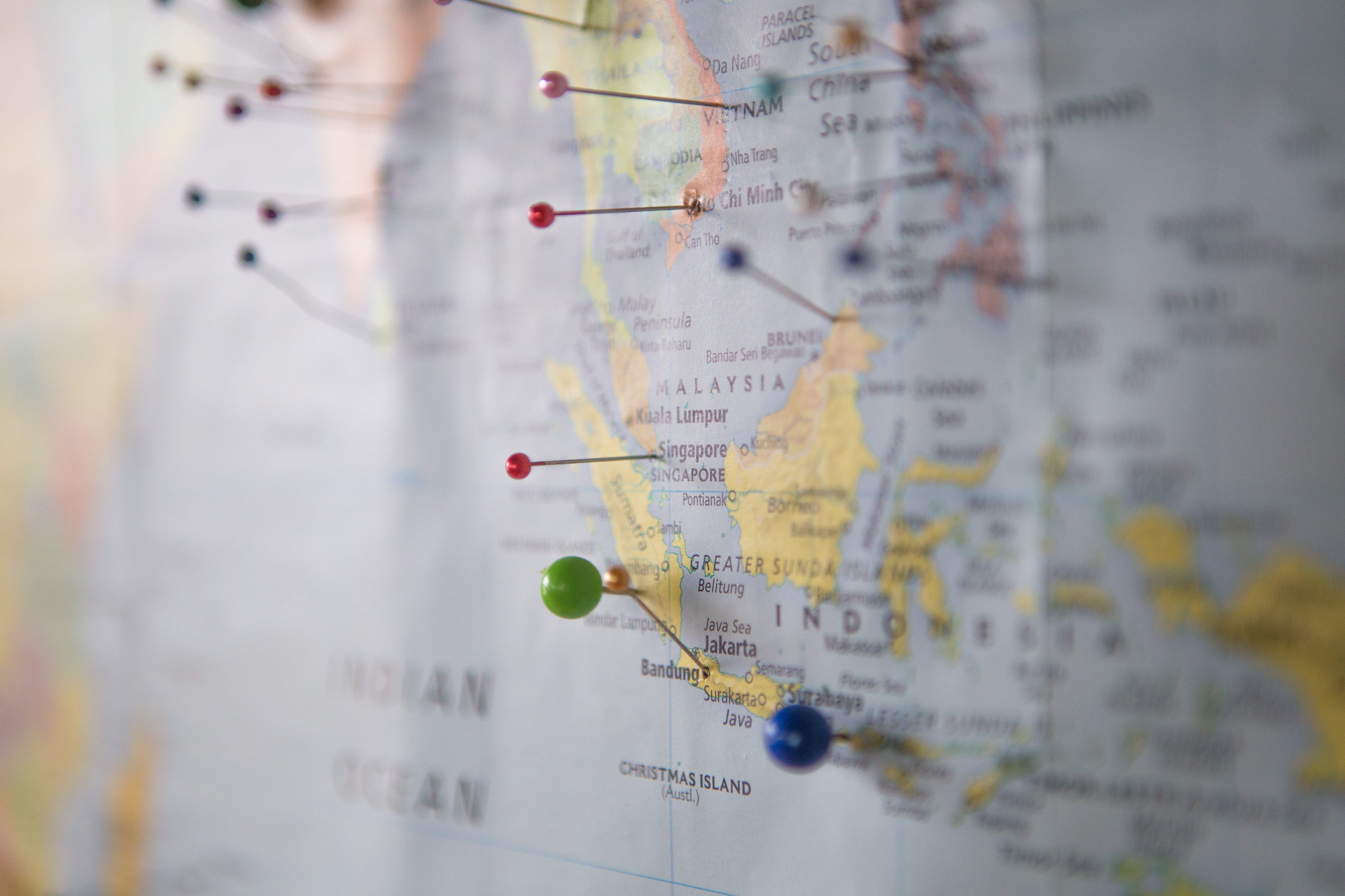
Image by unplash
Geocoding
Geocoding is a critical service for businesses and organizations that need to translate physical addresses into geographic coordinates (latitude and longitude). I provide accurate and reliable geocoding services that can help clients make the most of their location-based data.
Read more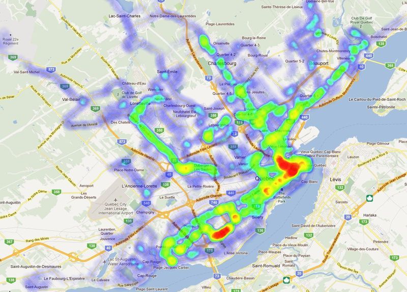
Image by pinterest
Geospatial Analysis
Spatial analysis is a key tool for making sense of the world around us,
and it is rooted in the Tobler’s
First Law of Geography, which states
that Everything is related to everything else, but near things are more
related than distant things.
This simple yet profound statement underpins
much of modern spatial analysis, which involves using statistical and computational
methods to understand the patterns and relationships between different geographic phenomena.
My services are designed to help clients leverage the power of spatial data to gain insights and drive results.
Read more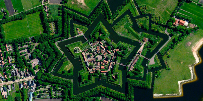
Image by boredpanda
Data Visualization
Geospatial data is critical to making informed decisions and understanding complex relationships between locations. Cartography and data visualization are essential tools for effectively analyzing and communicating spatial data, and my services are designed to help clients achieve this.
Read more