Portfolio

Uncovering the Dynamics of Seasonal Floods in Accra, Ghana
Flooding is a recurring natural disaster that poses significant challenges to urban areas, including Accra. This work explores the extent and impact of flooding events in Accra during three specific dates. The analysis employed remote sensing data, focusing on estimating the flood extent, flooded cropland area, and flooded built-up area. The findings shed light on the severity of flooding in Accra and provide crucial insights for flood management and urban planning strategies.
Read more
GeoJson Inspector
The tool provides users with the ability to visualize their geojson data on a map. By simply pasting the data into a text area and submitting it, you can easily view your data without any additional setup or installation. The platform is designed to be user-friendly and accessible, allowing you to quickly and easily upload and view your data. What's more, you can also draw your own features directly on the map and have them displayed alongside the existing data. With this feature, you can easily add custom annotations, points of interest, or other relevant information to the map.
Try it
Assessing Access to Healthcare Facilities in Ho Municipal
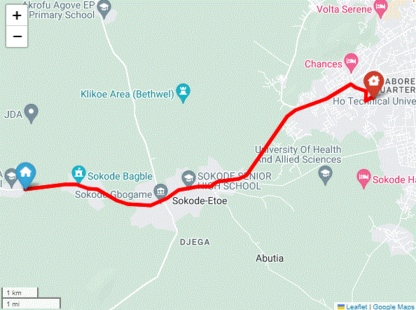
Access to healthcare services is a fundamental right of every human being. It is essential for individuals and communities to have access to quality healthcare services to maintain good health and wellbeing. However, in many parts of the world, including Ghana, access to healthcare services is limited, especially in rural areas. This can result in increased morbidity and mortality rates, as well as disparities in health outcomes between urban and rural populations.
Read moreVisualizing Landcover Classes in Ho Using ESA Landcover Data: A Split Panel Application on Earth Engine Platform
The application allows users to toggle between two map views displaying landcover classification and satellite imagery, enhancing the accuracy of landcover analysis. It also provides zoom and pan functionality, a legend, and layer transparency controls, and can be accessed directly from a web browser.
Explore