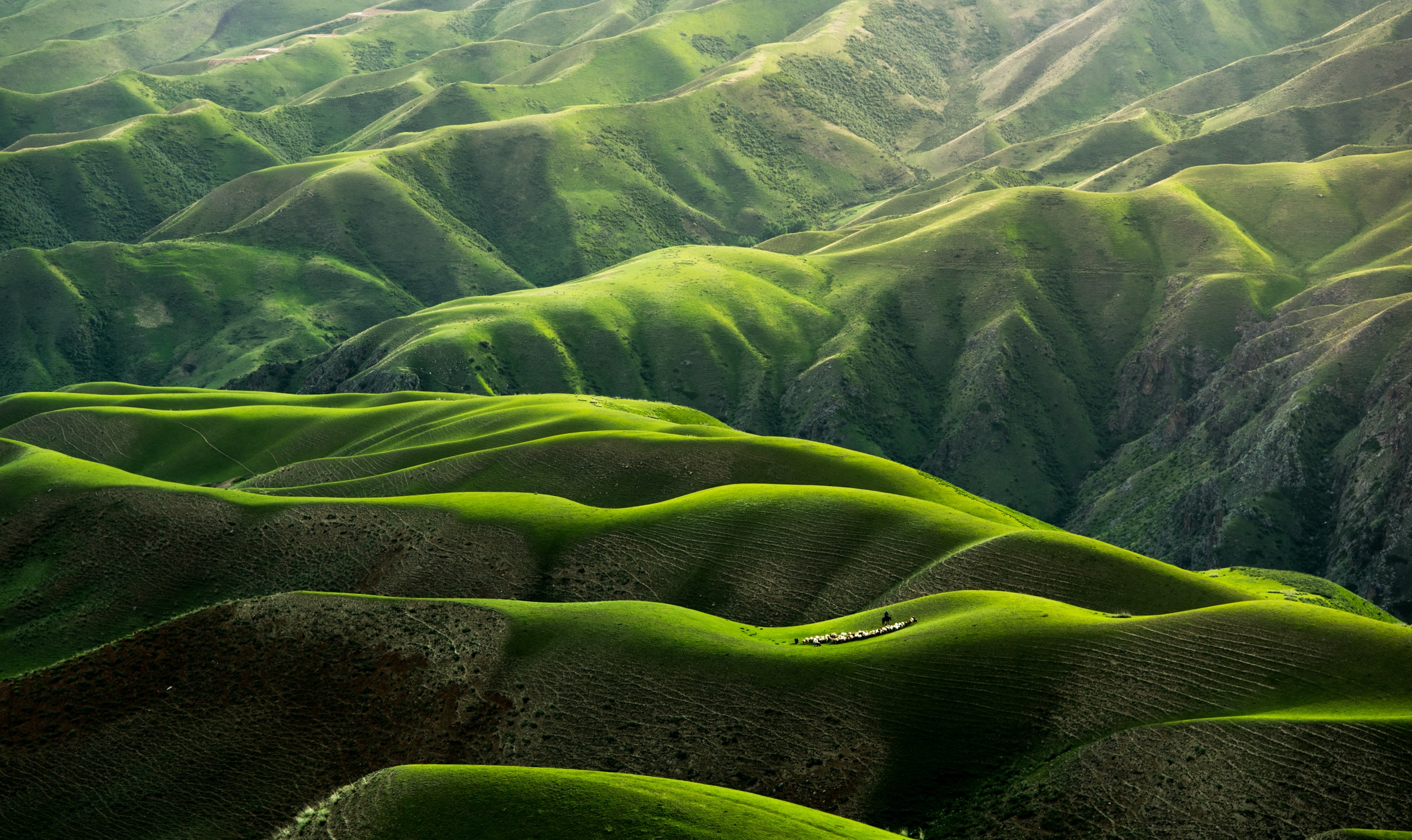
Discovering our earth through geocomputing
Geospatial technology has transformed how we interact with our world. GIS and Remote Sensing enable detailed maps, pattern recognition, and informed environmental decisions ranging from flood-risk mapping to tracking glacial retreat.


Who I am
I transform complex spatial and environmental data into actionable location intelligence. Whether you are tracking resource degradation, optimising land use, tracking crop phenology, or trying to secure environmental compliance, I build the data pipeline and predictive models that turn spatial uncertainty into clear, confident strategy.
Read more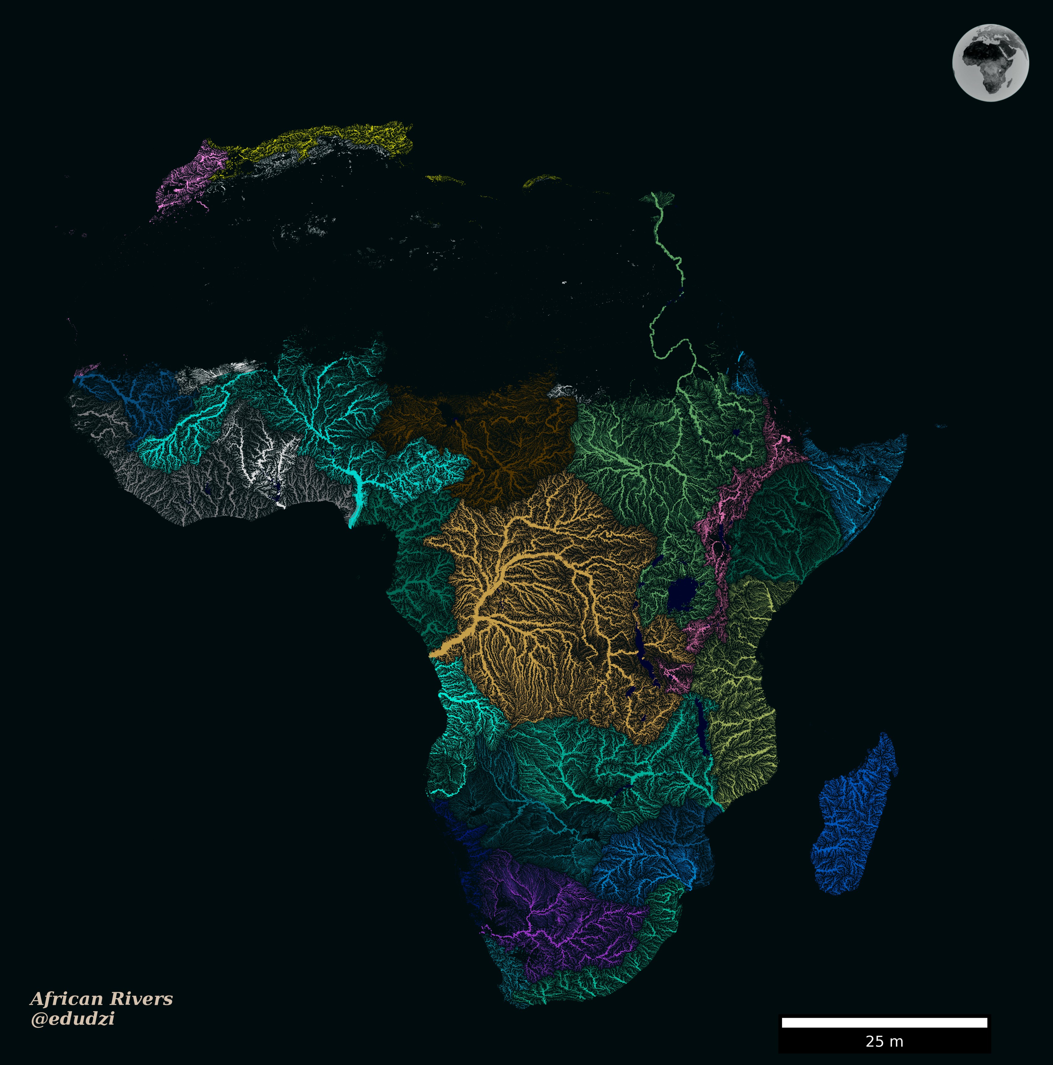
What I do
I deliver end-to-end geospatial solutions that transform your raw data into valuable assets. From designing time-saving field data collection pipelines to building predictive machine learning models, I bridge the gap between complex environmental data and confident, data-driven decisions. Explore my services to see how I improve workflows, reduce spatial uncertainty, and help increase your return on investment.
Read more